Optimised approach channel
Tides and targeted dredging combines to large savings in Brisbane.
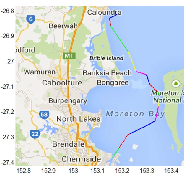
The Port of Brisbane on the east coast of Australia is the fastest-growing container port on the continent. To get there from the Pacific Ocean, ships have to sail up a 90 km long navigation channel. The Port of Brisbane was keen to attract larger container ships and needed a feasibility study of deepening the channel. In collaboration with DHI Australia we calculated and quantified whether it was realistic to make the port accessible to large container ships.
A potential and expensive deepening of the main navigational channel is regarded as one of several proactive planning initiatives that a modern port operator has to carry out on a regular basis in order to accommodate for the ever-increasing demands of the commercial shipping industry.
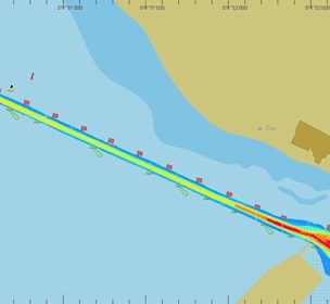
The water depth is shallow and varies along the channel. The combination of shallow water and high seas results in risk of large ships running aground. DHI calculated the behaviour of the waves and currents in the waters in relation to e.g. tide, storms. We calculated the motions of a large container ship in the wave system in question. Together, we found an acceptable safety limit and thereby the necessary water depth.
The study showed that the Port of Brisbane only needed to dredge the bends of the channel. As long as the ship’s passage is synchronised with the tide, even very large container ships can safely sail in at high tide. By cooperating with nature, the Port of Brisbane was able to achieve large savings compared to dredging a large part of the channel.

Article
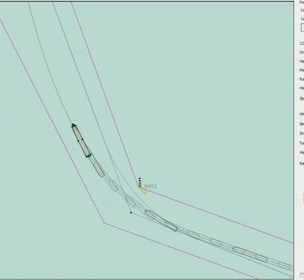
The method - navigational channels
Article
How to avoid expensive downtime in approach channels
Facility